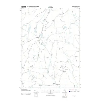
2013 Map of Summit
USGS Topo · Published 2013About this map
Summit sits as the central hub of this Schoharie County landscape, where the waters of Summit Lake and Bear Gulch Pond drain into the surrounding valleys. The terrain is defined by significant elevations like The Cobble and the deep drainage of Wharton Hollow Cr, which flows toward the hamlet of East Jefferson. This area is particularly rich in genealogical data, preserving the locations of several distinct burial grounds including the Old Summit Cem and New Summit Cem, as well as the Old Eminence Cem and New Eminence Cem further south. The map documents the persistent rural character of these upland settlements, from Beards Hollow in the north to Vorman Corners in the south, linked by a network of winding roads such as Rossman Fly Rd and Fulton Hill Rd.
Find a feature on this map
120 named features on this map. Tap any name to fly to it.
Don’t see what you’re looking for? This feature index may not catch every label — zoom into the map to look around manually.
Map Details
Editions of this 2013 Summit Map
This is the sole edition of this map. No revisions or reprints were ever made.
Other maps of this area

1898 · Schoharie
USGS Topo · 1:62,500

1900 · Schoharie
USGS Topo · 1:62,500

1901 · Gilboa
USGS Topo · 1:62,500

1903 · Gilboa
USGS Topo · 1:62,500

1904 · Richmondville
USGS Topo · 1:62,500

1904 · Hobart
USGS Topo · 1:62,500

1943 · Cobleskill
USGS Topo · 1:24,000

1943 · South Valley
USGS Topo · 1:24,000

1943 · Breakabeen
USGS Topo · 1:24,000

1943 · Charlotteville
USGS Topo · 1:24,000