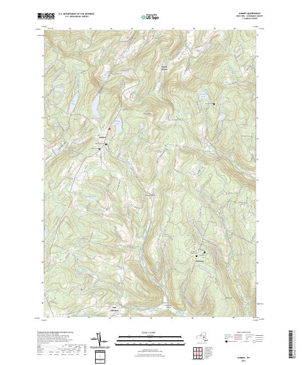
2023 Map of Summit
USGS Topo · Published 2023About this map
Summit Lake serves as a central landmark for this upland region, surrounded by a landscape defined by deep ravines and family-named hollows. The village of Summit is anchored by both the Old Summit Cem and the more modern Summit Cem, providing a direct link for genealogists studying the early residents of this high terrain. Settlement patterns follow the valley floors of Charlotte Valley and the steep contours of Beards Hollow and Wharton Hollow, where scattered homesteads and road networks connect small communities like Eminence and Sawyer Hollow.
Find a feature on this map
124 named features on this map. Tap any name to fly to it.
Don’t see what you’re looking for? This feature index may not catch every label — zoom into the map to look around manually.
Map Details
Editions of this 2023 Summit Map
This is the sole edition of this map. No revisions or reprints were ever made.
Other maps of this area

1898 · Schoharie
USGS Topo · 1:62,500

1900 · Schoharie
USGS Topo · 1:62,500

1901 · Gilboa
USGS Topo · 1:62,500

1903 · Gilboa
USGS Topo · 1:62,500

1904 · Richmondville
USGS Topo · 1:62,500

1904 · Hobart
USGS Topo · 1:62,500

1943 · Cobleskill
USGS Topo · 1:24,000

1943 · South Valley
USGS Topo · 1:24,000

1943 · Breakabeen
USGS Topo · 1:24,000

1943 · Charlotteville
USGS Topo · 1:24,000