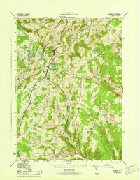
1945 Map of Summit
USGS Topo · Published 1945About this map
The town of Summit and its namesake Summit Lake anchor this 1940s survey of the Catskills foothills in Schoharie County. The landscape is defined by its series of high hollows and upland ridges, including Beards Hollow, Sawyer Hollow, and Wharton Hollow. While small settlements like Richmondville and Eminence provide focal points, the map reveals a rural social structure dominated by a decentralized network of numbered district schools. Ten separate schoolhouses are located here, ranging from School No 2 near the village to the remote School No 11 further south.
Find a feature on this map
41 named features on this map. Tap any name to fly to it.
Don’t see what you’re looking for? This feature index may not catch every label — zoom into the map to look around manually.
Map Details
Editions of this 1945 Summit Map
This is the sole edition of this map. No revisions or reprints were ever made.
Other maps of this area

1898 · Schoharie
USGS Topo · 1:62,500

1900 · Schoharie
USGS Topo · 1:62,500

1901 · Gilboa
USGS Topo · 1:62,500

1903 · Gilboa
USGS Topo · 1:62,500

1904 · Richmondville
USGS Topo · 1:62,500

1904 · Hobart
USGS Topo · 1:62,500

1943 · Cobleskill
USGS Topo · 1:24,000

1943 · South Valley
USGS Topo · 1:24,000

1943 · Breakabeen
USGS Topo · 1:24,000

1943 · Charlotteville
USGS Topo · 1:24,000