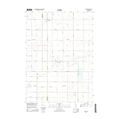
2014 Map of Sumner
USGS Topo · Published 2014About this map
Pine River meanders across this rural landscape in central Michigan, following a winding course that connects the small settlements of Elm Hall and Sumner. The agricultural character of the region is defined by a rigid grid of country roads, including W Harrison Rd and St Charles Rd, which divide the terrain into traditional sections. This 2014 survey serves as a detailed record for family historians, documenting several local burial grounds such as Elm Hall Cem and Spencer Cem that sit alongside quiet tributaries like Carpenter Cr. Further south, the curiously named River Styx and the waters of Duck Lake provide additional landmarks in this portion of the Montcalm and Gratiot county borderlands.
Find a feature on this map
64 named features on this map. Tap any name to fly to it.
Don’t see what you’re looking for? This feature index may not catch every label — zoom into the map to look around manually.
Map Details
Editions of this 2014 Sumner Map
This is the sole edition of this map. No revisions or reprints were ever made.
Other maps of this area

1918 · Perrinton
USGS Topo · 1:62,500

1935 · Alma
USGS Topo · 1:62,500

1938 · Alma
USGS Topo · 1:62,500

1943 · Perrinton
USGS Topo · 1:62,500

1954 · Midland
USGS Topo · 1:250,000

1958 · Midland
USGS Topo · 1:250,000

1959 · Midland
USGS Topo · 1:250,000

1965 · Vestaburg
USGS Topo · 1:24,000

1965 · Sumner
USGS Topo · 1:24,000
1965 · Perrinton
USGS Topo · 1:24,000