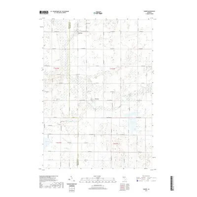
2019 Map of Sumner
USGS Topo · Published 2019About this map
Sumner and Elm Hall serve as the primary focal points of this central Michigan landscape, situated along the winding path of the Pine River. This 2019 survey documents a rural environment defined by its agricultural grid and a network of local waterways, including Carpenter Cr and the uniquely named River Styx in the southern portion of the quadrangle. The settlement patterns are punctuated by numerous small burial grounds, such as Elm Hall Cem and Klees Cem, which provide essential touchstones for researchers tracking local family histories.
Find a feature on this map
43 named features on this map. Tap any name to fly to it.
Don’t see what you’re looking for? This feature index may not catch every label — zoom into the map to look around manually.
Map Details
Editions of this 2019 Sumner Map
This is the sole edition of this map. No revisions or reprints were ever made.
Other maps of this area

1918 · Perrinton
USGS Topo · 1:62,500

1935 · Alma
USGS Topo · 1:62,500

1938 · Alma
USGS Topo · 1:62,500

1943 · Perrinton
USGS Topo · 1:62,500

1954 · Midland
USGS Topo · 1:250,000

1958 · Midland
USGS Topo · 1:250,000

1959 · Midland
USGS Topo · 1:250,000

1965 · Vestaburg
USGS Topo · 1:24,000

1965 · Sumner
USGS Topo · 1:24,000
1965 · Perrinton
USGS Topo · 1:24,000