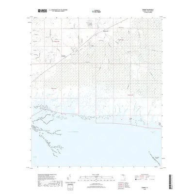
2018 Map of Sumner
USGS Topo · Published 2018About this map
The low-lying coastal marshes of Levy County meet the Gulf of Mexico in this detailed 2018 survey. The small community of Sumner sits along Co Rd 453, while the settlement of Rosewood is positioned to the northeast, surrounded by a complex network of wetlands and tidal creeks. Local genealogy and community history are anchored by the Shiloh Ch and the adjacent Shiloh Cem, which remain as core landmarks in this landscape of pine flatwoods and salt marsh.
Find a feature on this map
75 named features on this map. Tap any name to fly to it.
Don’t see what you’re looking for? This feature index may not catch every label — zoom into the map to look around manually.
Map Details
Editions of this 2018 Sumner Map
This is the sole edition of this map. No revisions or reprints were ever made.
Other maps of this area

1954 · Otter Creek
USGS Topo · 1:24,000

1954 · Chiefland SW
USGS Topo · 1:24,000

1954 · East Pass
USGS Topo · 1:24,000

1954 · Gainesville
USGS Topo · 1:250,000

1955 · Seahorse Key
USGS Topo · 1:24,000

1955 · Cedar Key
USGS Topo · 1:24,000

1955 · Withlacoochee Bay
USGS Topo · 1:24,000

1955 · Waccasassa Bay
USGS Topo · 1:24,000

1955 · Sumner
USGS Topo · 1:24,000

1958 · Gainesville
USGS Topo · 1:250,000