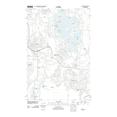
2011 Map of Sumner
USGS Topo · Published 2011About this map
Lake Tapps dominates the northeastern landscape of this study, its complex shoreline defined by points and islands including Evergreen Point, Tacoma Point, and Bankers Island. The surrounding residential growth of Bonney Lake and Sumner is visible alongside the agricultural and industrial footprints of the era. The White River and Puyallup River frame the valley, where landmarks like the Van Leirop Bulb Farm and the Sumner Pit Dam highlight the local intersection of commerce and geography.
Find a feature on this map
45 named features on this map. Tap any name to fly to it.
Don’t see what you’re looking for? This feature index may not catch every label — zoom into the map to look around manually.
Map Details
Editions of this 2011 Sumner Map
This is the sole edition of this map. No revisions or reprints were ever made.
Other maps of this area

1897 · Tacoma
USGS Topo · 1:125,000

1900 · Tacoma
USGS Topo · 1:125,000

1941 · Tacoma South
USGS Topo · 1:62,500

1942 · Lake Tapps
USGS Topo · 1:62,500

1944 · Lake Tapps
USGS Topo · 1:62,500

1944 · Tacoma South
USGS Topo · 1:62,500

1949 · Black Diamond
USGS Topo · 1:24,000

1949 · Poverty Bay
USGS Topo · 1:24,000

1949 · Auburn
USGS Topo · 1:24,000

1956 · Orting
USGS Topo · 1:24,000