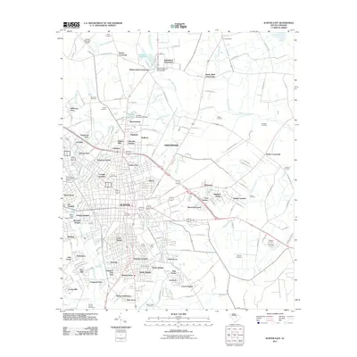
2011 Map of Sumter East
USGS Topo · Published 2011About this map
Sumter and its surrounding residential neighborhoods define the geography of this eastern coastal plain landscape. The city’s eastward expansion is visible through a dense network of suburban developments like Garris Park, Carolina Gardens, and Pinehurst, which give way to more rural crossings such as Rocky Bluff Crossroads and Shaws Crossroads. The region is crisscrossed by several slow-moving watercourses, including the Rocky Bluff Swamp and Alligator Branch, which delineate the natural drainage patterns of the area.
Find a feature on this map
170 named features on this map. Tap any name to fly to it.
Don’t see what you’re looking for? This feature index may not catch every label — zoom into the map to look around manually.
Map Details
Editions of this 2011 Sumter East Map
This is the sole edition of this map. No revisions or reprints were ever made.
Other maps of this area

1920 · Mayesville
USGS Topo · 1:48,000

1921 · Mayesville
USGS Topo · 1:62,500

1941 · Spartanburg
USGS Topo · 1:250,000

1943 · Mayesville
USGS Topo · 1:62,500

1946 · Sumter
USGS Topo · 1:62,500

1953 · Spartanburg
USGS Topo · 1:250,000

1954 · Augusta
USGS Topo · 1:250,000

1957 · Sumter East
USGS Topo · 1:24,000

1957 · Sumter West
USGS Topo · 1:24,000

1957 · Ashwood
USGS Topo · 1:62,500