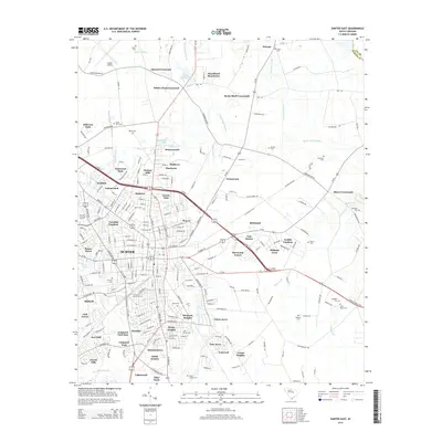
2014 Map of Sumter East
USGS Topo · Published 2014About this map
Sumter serves as the focal point of this South Carolina landscape, surrounded by an extensive network of residential developments that indicate the city's suburban expansion. Established neighborhoods and newer subdivisions like Shannontown, Geddie Gardens, and Sherwood Forest cluster around the urban core, while the eastern reaches transition into a hydraulic landscape defined by the Rocky Bluff Swamp and Cowpen Swamp. The distribution of family and community burial sites, including Johns Cem, White Dick Cem, and Webb Cem, provides a map of the area's social history and genealogical footprint.
Find a feature on this map
163 named features on this map. Tap any name to fly to it.
Don’t see what you’re looking for? This feature index may not catch every label — zoom into the map to look around manually.
Map Details
Editions of this 2014 Sumter East Map
This is the sole edition of this map. No revisions or reprints were ever made.
Other maps of this area

1920 · Mayesville
USGS Topo · 1:48,000

1921 · Mayesville
USGS Topo · 1:62,500

1941 · Spartanburg
USGS Topo · 1:250,000

1943 · Mayesville
USGS Topo · 1:62,500

1946 · Sumter
USGS Topo · 1:62,500

1953 · Spartanburg
USGS Topo · 1:250,000

1954 · Augusta
USGS Topo · 1:250,000

1957 · Sumter East
USGS Topo · 1:24,000

1957 · Sumter West
USGS Topo · 1:24,000

1957 · Ashwood
USGS Topo · 1:62,500