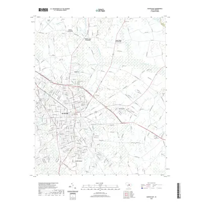
2020 Map of Sumter East
USGS Topo · Published 2020About this map
The city of Sumter and its surrounding crossroads emerge from a landscape defined by the low-lying waters of the South Carolina Coastal Plain. Educational and civic institutions anchor the urban center, including Morris College, Central Carolina Technical College, and the University of South Carolina Sumter. The city’s development follows a distinct radial pattern out from the Sumter County Judicial Center, with neighborhoods such as East Sumter, South Sumter, and Mulberry expanding into the nearby woodlands and wetlands.
Find a feature on this map
304 named features on this map. Tap any name to fly to it.
Don’t see what you’re looking for? This feature index may not catch every label — zoom into the map to look around manually.
Map Details
Editions of this 2020 Sumter East Map
This is the sole edition of this map. No revisions or reprints were ever made.
Other maps of this area

1920 · Mayesville
USGS Topo · 1:48,000

1921 · Mayesville
USGS Topo · 1:62,500

1941 · Spartanburg
USGS Topo · 1:250,000

1943 · Mayesville
USGS Topo · 1:62,500

1946 · Sumter
USGS Topo · 1:62,500

1953 · Spartanburg
USGS Topo · 1:250,000

1954 · Augusta
USGS Topo · 1:250,000

1957 · Sumter East
USGS Topo · 1:24,000

1957 · Sumter West
USGS Topo · 1:24,000

1957 · Ashwood
USGS Topo · 1:62,500