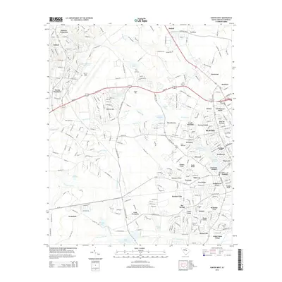
2014 Map of Sumter West
USGS Topo · Published 2014About this map
Shaw Air Force Base dominates the northwestern landscape of this Sumter County region, surrounded by a complex network of mid-century residential developments and rural crossroads. The transition from industrial military installations to established neighborhoods like Cherryvale and Marden Ranchettes is clearly visible, while older community anchors remain preserved in the form of numerous cemeteries such as Saint Lukes Cem and Four Bridges Cem.
Find a feature on this map
274 named features on this map. Tap any name to fly to it.
Don’t see what you’re looking for? This feature index may not catch every label — zoom into the map to look around manually.
Map Details
Editions of this 2014 Sumter West Map
This is the sole edition of this map. No revisions or reprints were ever made.
Other maps of this area

1938 · Hagood
USGS Topo · 1:62,500

1941 · Spartanburg
USGS Topo · 1:250,000

1942 · Camden
USGS Topo · 1:125,000

1943 · Eastover
USGS Topo · 1:62,500

1946 · Sumter
USGS Topo · 1:62,500

1953 · Poinsett State Park
USGS Topo · 1:24,000

1953 · Wedgefield
USGS Topo · 1:24,000

1953 · Rembert
USGS Topo · 1:24,000

1953 · Spartanburg
USGS Topo · 1:250,000

1954 · Augusta
USGS Topo · 1:250,000