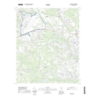
2023 Map of Sumter West
USGS Topo · Published 2023About this map
Shaw Air Force Base occupies a significant portion of the northwest, defining the character of the landscape near Shaw Heights and Cherryvale. The terrain transitions into a complex network of wetlands and water bodies, including Mush Swamp and Cypress Bay, which have historically shaped the local hydrology and settlement patterns. Several millponds, such as Loring Millpond and New Millpond, suggest a legacy of water-powered industry that once supported these communities.
Find a feature on this map
50 named features on this map. Tap any name to fly to it.
Don’t see what you’re looking for? This feature index may not catch every label — zoom into the map to look around manually.
Map Details
Editions of this 2023 Sumter West Map
This is the sole edition of this map. No revisions or reprints were ever made.
Other maps of this area

1938 · Hagood
USGS Topo · 1:62,500

1941 · Spartanburg
USGS Topo · 1:250,000

1942 · Camden
USGS Topo · 1:125,000

1943 · Eastover
USGS Topo · 1:62,500

1946 · Sumter
USGS Topo · 1:62,500

1953 · Poinsett State Park
USGS Topo · 1:24,000

1953 · Wedgefield
USGS Topo · 1:24,000

1953 · Rembert
USGS Topo · 1:24,000

1953 · Spartanburg
USGS Topo · 1:250,000

1954 · Augusta
USGS Topo · 1:250,000