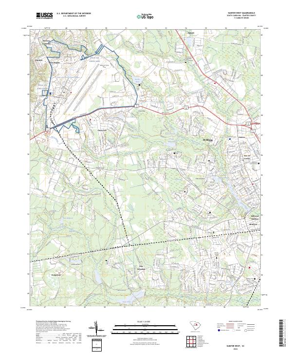
2024 Map of Sumter West
USGS Topo · Published 2024About this map
Shaw Air Force Base dominates the northwestern landscape of this Sumter County survey, establishing a massive footprint near Shaw Heights and Cherryvale. The terrain transitions from the developed corridors of Sumter into a complex network of wetlands and historic farm tracts. Numerous family and community burial grounds, including Williams Cem, Miller Cem, and Saint Mark Four Bridges Church Graveyard, are preserved across the quadrangle, serving as vital markers for local genealogy. The hydrologic character is defined by the slow-moving waters of Mush Swamp and Cane Savannah Creek, which historically supported industry as evidenced by the New Millpond and Old Millpond. To the southwest, the village of Wedgefield sits as a gateway to Pitts Savanna, illustrating the persistent rural patterns that exist alongside the growing suburbs of Millwood.
Find a feature on this map
59 named features on this map. Tap any name to fly to it.
Don’t see what you’re looking for? This feature index may not catch every label — zoom into the map to look around manually.
Map Details
Editions of this 2024 Sumter West Map
This is the sole edition of this map. No revisions or reprints were ever made.
Other maps of this area

1938 · Hagood
USGS Topo · 1:62,500

1941 · Spartanburg
USGS Topo · 1:250,000

1942 · Camden
USGS Topo · 1:125,000

1943 · Eastover
USGS Topo · 1:62,500

1946 · Sumter
USGS Topo · 1:62,500

1953 · Poinsett State Park
USGS Topo · 1:24,000

1953 · Wedgefield
USGS Topo · 1:24,000

1953 · Rembert
USGS Topo · 1:24,000

1953 · Spartanburg
USGS Topo · 1:250,000

1954 · Augusta
USGS Topo · 1:250,000