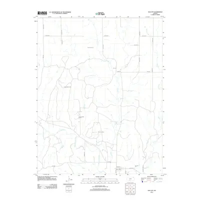
2012 Map of Sun City
USGS Topo · Published 2012About this map
Sun City and its surrounding Barber County ranchlands are defined by the winding course of the Medicine Lodge River and its major tributaries, including Turkey Cr and Mulberry Cr. The 2012 landscape reflects a balance between traditional agricultural roots and modern industrial extraction, with the Sun City Oil Field, Turkey Creek East Gas Field, and Moffett West Oil Field dispersed across the rolling plains. Local history remains anchored in family and community landmarks like Sunnyside Cem and Chinn Cem, while the town itself centers on its Po at the intersection of Elm St and Walnut St. The presence of the Turkey Creek Camp and the rail-aligned community of Hartford to the southwest illustrate the long-standing importance of water access and transportation corridors in this part of Kansas.
Find a feature on this map
34 named features on this map. Tap any name to fly to it.
Don’t see what you’re looking for? This feature index may not catch every label — zoom into the map to look around manually.
Map Details
Editions of this 2012 Sun City Map
This is the sole edition of this map. No revisions or reprints were ever made.
Other maps of this area

1889 · Kinsley
USGS Topo · 1:125,000

1891 · Medicine Lodge
USGS Topo · 1:125,000

1892 · Kinsley
USGS Topo · 1:125,000

1892 · Coldwater
USGS Topo · 1:125,000

1892 · Pratt
USGS Topo · 1:125,000

1893 · Medicine Lodge
USGS Topo · 1:125,000

1894 · Kinsley
USGS Topo · 1:125,000

1894 · Pratt
USGS Topo · 1:125,000

1955 · Pratt
USGS Topo · 1:250,000

1959 · Pratt
USGS Topo · 1:250,000