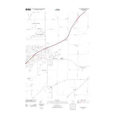
2013 Map of Sun Prairie
USGS Topo · Published 2013About this map
Maunesha River flows through the northeastern reaches of this landscape, while the headwaters of Koshkonong Cr wind through the south, anchoring a region of expanding residential subdivisions and established family farmsteads. The 2013 data illustrates the contemporary growth of residential developments like Sherwood Forest Heights, Pebble Valley, and Prairie View Heights, which contrast with the agricultural character of Selzner Farms and Porter Farms. Smaller enclaves and named clusters such as Burgess Corners, Buss's Corners, and Drovers Woods appear alongside infrastructure like the Sun Prairie Wastewater Treatment Facility. To the south, Pierceville and Schey Acres maintain a more open, rural atmosphere, reflecting the varied land use patterns at the edge of the Madison metropolitan area.
Find a feature on this map
114 named features on this map. Tap any name to fly to it.
Don’t see what you’re looking for? This feature index may not catch every label — zoom into the map to look around manually.
Map Details
Editions of this 2013 Sun Prairie Map
This is the sole edition of this map. No revisions or reprints were ever made.
Other maps of this area

1890 · Madison
USGS Topo · 1:62,500

1890 · Sun Prairie
USGS Topo · 1:62,500

1892 · Madison
USGS Topo · 1:62,500

1896 · Sun Prairie
USGS Topo · 1:62,500

1901 · Poynette
USGS Topo · 1:62,500

1904 · Madison
USGS Topo · 1:62,500

1905 · Sun Prairie
USGS Topo · 1:62,500

1906 · Madison
USGS Topo · 1:62,500

1907 · Sun Prairie
USGS Topo · 1:62,500

1955 · Columbus
USGS Topo · 1:62,500