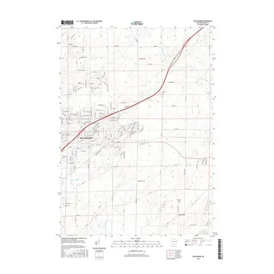
2016 Map of Sun Prairie
USGS Topo · Published 2016About this map
Sun Prairie appears here as a significant hub of suburban growth and development in eastern Dane County during the mid-2010s. The dense network of streets, including Scotland Pkwy and Prairie View Dr N, highlights the rapid residential expansion that has come to characterize this area. Despite this growth, the landscape retains important ties to its rural roots and natural geography, visible in the winding course of Token Cr and the wetlands of the Maunesha River and Deansville Marsh. To the southeast, the small settlement of Pierceville and the Pierceville Cem provide a distinct contrast to the increasing urbanization nearby. This contrast between the modern residential layout of the city and the surrounding agricultural sections, such as those in t9n r11e, illustrates the shifting land use patterns typical of the Madison periphery during this era.
Find a feature on this map
114 named features on this map. Tap any name to fly to it.
Don’t see what you’re looking for? This feature index may not catch every label — zoom into the map to look around manually.
Map Details
Editions of this 2016 Sun Prairie Map
This is the sole edition of this map. No revisions or reprints were ever made.
Other maps of this area

1890 · Madison
USGS Topo · 1:62,500

1890 · Sun Prairie
USGS Topo · 1:62,500

1892 · Madison
USGS Topo · 1:62,500

1896 · Sun Prairie
USGS Topo · 1:62,500

1901 · Poynette
USGS Topo · 1:62,500

1904 · Madison
USGS Topo · 1:62,500

1905 · Sun Prairie
USGS Topo · 1:62,500

1906 · Madison
USGS Topo · 1:62,500

1907 · Sun Prairie
USGS Topo · 1:62,500

1955 · Columbus
USGS Topo · 1:62,500