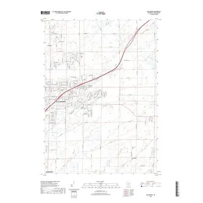
2018 Map of Sun Prairie
USGS Topo · Published 2018About this map
Sun Prairie and its expanding residential corridors dominate this landscape northeast of Madison. The map highlights a transition from dense suburban street grids to the open farmland of eastern Dane County, where several small burial grounds like West Bristol Cem and the Bristol Lutheran Cem serve as markers of earlier rural communities. The northeastern portion of the quadrangle is defined by the winding course of the Maunesha River as it approaches the Deansville Marsh, while Koshkonong Cr drains the southern fields.
Find a feature on this map
153 named features on this map. Tap any name to fly to it.
Don’t see what you’re looking for? This feature index may not catch every label — zoom into the map to look around manually.
Map Details
Editions of this 2018 Sun Prairie Map
This is the sole edition of this map. No revisions or reprints were ever made.
Other maps of this area

1890 · Madison
USGS Topo · 1:62,500

1890 · Sun Prairie
USGS Topo · 1:62,500

1892 · Madison
USGS Topo · 1:62,500

1896 · Sun Prairie
USGS Topo · 1:62,500

1901 · Poynette
USGS Topo · 1:62,500

1904 · Madison
USGS Topo · 1:62,500

1905 · Sun Prairie
USGS Topo · 1:62,500

1906 · Madison
USGS Topo · 1:62,500

1907 · Sun Prairie
USGS Topo · 1:62,500

1955 · Columbus
USGS Topo · 1:62,500