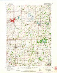
1962 Map of Sun Prairie
USGS Topo · Published 1964About this map
Sun Prairie serves as the primary hub of this eastern Dane County landscape during the early 1960s, a period marked by established rail corridors and agricultural sprawl. The Chicago Milwaukee ST. Paul And Pacific and Chicago And North Western railroads intersect the region, connecting smaller communities like Cottage Grove, Deerfield, and Marshall. The terrain is punctuated by significant water features such as the Maunesha River and Koshkonong Creek, alongside the distinctive Liberty Mound south of Cottage Grove.
Find a feature on this map
71 named features on this map. Tap any name to fly to it.
Don’t see what you’re looking for? This feature index may not catch every label — zoom into the map to look around manually.
Map Details
Editions of this 1962 Sun Prairie Map
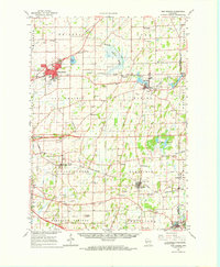
2 editions found
Other maps of this area

1889 · Evansville
USGS Topo · 1:62,500

1890 · Madison
USGS Topo · 1:62,500

1890 · Sun Prairie
USGS Topo · 1:62,500

1890 · Stoughton
USGS Topo · 1:62,500

1891 · Waterloo
USGS Topo · 1:62,500

1891 · Koshkonong
USGS Topo · 1:62,500

1892 · Madison
USGS Topo · 1:62,500

1894 · Waterloo
USGS Topo · 1:62,500

1894 · Evansville
USGS Topo · 1:62,500

1894 · Koshkonong
USGS Topo · 1:62,500