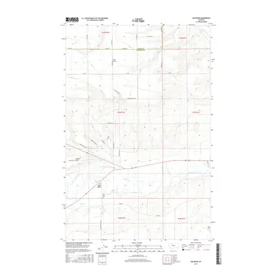
2017 Map of Sun River
USGS Topo · Published 2017About this map
Sun River sits at the heart of this landscape, where the namesake waterway winds eastward through a complex network of agricultural irrigation infrastructure. The map documents an intricate system of water management essential to the region's ranching and farming, including the Sun River-Valley-Ditch, Greenfield S Canal, and GS 51 Ditch. These man-made channels parallel the natural courses of Mill Coulee Cr and Muddy Creek, illustrating the extensive modification of the drainage basins between Teton and Cascade Counties.
Find a feature on this map
44 named features on this map. Tap any name to fly to it.
Don’t see what you’re looking for? This feature index may not catch every label — zoom into the map to look around manually.
Map Details
Editions of this 2017 Sun River Map
This is the sole edition of this map. No revisions or reprints were ever made.
Other maps of this area

1886 · Great Falls
USGS Topo · 1:250,000

1949 · Cascade
USGS Topo · 1:62,500

1949 · Vaughn
USGS Topo · 1:62,500

1950 · Fairfield
USGS Topo · 1:62,500

1951 · Cascade
USGS Topo · 1:62,500

1952 · Vaughn
USGS Topo · 1:62,500

1954 · Great Falls
USGS Topo · 1:250,000

1957 · Great Falls
USGS Topo · 1:250,000

1960 · Simms
USGS Topo · 1:62,500

1976 · Great Falls North
USGS Topo · 1:100,000