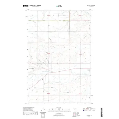
2020 Map of Sun River
USGS Topo · Published 2020About this map
Sun River and its accompanying riverbank settlement anchor this landscape at the intersection of Teton and Cascade counties. The topography is defined by prominent plateaus including First Bench, Ashuelot Bench, and Taft Hill, which rise above the river valley. The region's hydraulic history is visible through a complex network of irrigation and drainage infrastructure, such as the Sun River Valley Ditch, Greenfield S Canal, and GS 51 Ditch, which were essential for transforming these semi-arid terraces into productive land.
Find a feature on this map
42 named features on this map. Tap any name to fly to it.
Don’t see what you’re looking for? This feature index may not catch every label — zoom into the map to look around manually.
Map Details
Editions of this 2020 Sun River Map
This is the sole edition of this map. No revisions or reprints were ever made.
Other maps of this area

1886 · Great Falls
USGS Topo · 1:250,000

1949 · Cascade
USGS Topo · 1:62,500

1949 · Vaughn
USGS Topo · 1:62,500

1950 · Fairfield
USGS Topo · 1:62,500

1951 · Cascade
USGS Topo · 1:62,500

1952 · Vaughn
USGS Topo · 1:62,500

1954 · Great Falls
USGS Topo · 1:250,000

1957 · Great Falls
USGS Topo · 1:250,000

1960 · Simms
USGS Topo · 1:62,500

1976 · Great Falls North
USGS Topo · 1:100,000