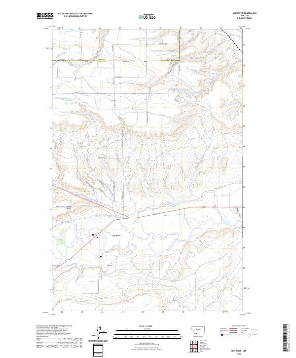
2024 Map of Sun River
USGS Topo · Published 2024About this map
Sun River is the central lifeblood of this Montana landscape, where the river's meandering course is shadowed by an extensive network of irrigation infrastructure essential to the region's agricultural character. This modern topographical survey details the intricate water management system, including the Sun River Valley Ditch, Greenfield South Canal, and Canal K, which serve the high plains terrain above the river valley. The map clearly delineates the plateau formations of First Bench and Ashuelot Bench, which rise above the river's floodplain. The settlement of Sun River itself is anchored by a Po and the nearby Sun River Cem, serving as the local hub for a network of rural roads such as Sun River Cascade Rd and Adams Rd. To the north, the boundary between Teton Co and Cascade Co follows section lines through a landscape etched by smaller drainages like Mill Coulee Creek and Muddy Creek.
Find a feature on this map
40 named features on this map. Tap any name to fly to it.
Don’t see what you’re looking for? This feature index may not catch every label — zoom into the map to look around manually.
Map Details
Editions of this 2024 Sun River Map
This is the sole edition of this map. No revisions or reprints were ever made.
Other maps of this area

1886 · Great Falls
USGS Topo · 1:250,000

1949 · Cascade
USGS Topo · 1:62,500

1949 · Vaughn
USGS Topo · 1:62,500

1950 · Fairfield
USGS Topo · 1:62,500

1951 · Cascade
USGS Topo · 1:62,500

1952 · Vaughn
USGS Topo · 1:62,500

1954 · Great Falls
USGS Topo · 1:250,000

1957 · Great Falls
USGS Topo · 1:250,000

1960 · Simms
USGS Topo · 1:62,500

1976 · Great Falls North
USGS Topo · 1:100,000