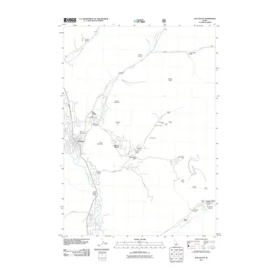
2011 Map of Sun Valley
USGS Topo · Published 2011About this map
Ketchum and the neighboring resort communities of Sun Valley and Elkhorn Village occupy the valley floor where Trail Creek meets the Big Wood River. This landscape is defined by the transition from concentrated modern settlement to the extensive mining history of the surrounding canyons. A dense network of mineral claims and tunnels lines the eastern gulches, notably around the Triumph Mine and Old Triumph Mine near the East Fork Wood River. The map captures the significant industrial footprint of the North Star Mine and Saint Louis Mine, situated among steep terrain features like Ruud Mountain and Dollar Mountain. Beyond the resort infrastructure, the survey details the high-altitude hydrology of the Sawtooth National Forest, including Lake Creek and the Trail Creek Dam.
Find a feature on this map
49 named features on this map. Tap any name to fly to it.
Don’t see what you’re looking for? This feature index may not catch every label — zoom into the map to look around manually.
Map Details
Editions of this 2011 Sun Valley Map
This is the sole edition of this map. No revisions or reprints were ever made.
Other maps of this area

1895 · Hailey
USGS Topo · 1:125,000

1897 · Hailey
USGS Topo · 1:125,000

1955 · Hailey
USGS Topo · 1:250,000

1959 · Hailey
USGS Topo · 1:250,000

1962 · Hailey
USGS Topo · 1:250,000

1967 · Rock Roll Canyon
USGS Topo · 1:24,000

1967 · Baugh Creek SW
USGS Topo · 1:24,000

1967 · Mahoney Butte
USGS Topo · 1:24,000

1967 · Sun Valley
USGS Topo · 1:24,000

1967 · Hailey
USGS Topo · 1:24,000