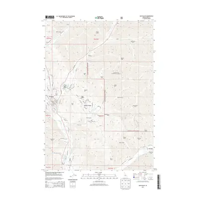
2013 Map of Sun Valley
USGS Topo · Published 2013About this map
The Sun Valley resort area and the adjacent town of Ketchum define this mountain landscape, which transitioned from a historic mining district to a premier destination for alpine recreation. The map details the developed core of Sun Valley Village and the expansive residential layouts of Elkhorn Village to the south. Flanking these settlements are the prominent peaks of Ruud Mtn, Proctor Mtn, and Dollar Mtn, which have long served as the backdrop for the region's winter sports.
Find a feature on this map
83 named features on this map. Tap any name to fly to it.
Don’t see what you’re looking for? This feature index may not catch every label — zoom into the map to look around manually.
Map Details
Editions of this 2013 Sun Valley Map
This is the sole edition of this map. No revisions or reprints were ever made.
Other maps of this area

1895 · Hailey
USGS Topo · 1:125,000

1897 · Hailey
USGS Topo · 1:125,000

1955 · Hailey
USGS Topo · 1:250,000

1959 · Hailey
USGS Topo · 1:250,000

1962 · Hailey
USGS Topo · 1:250,000

1967 · Rock Roll Canyon
USGS Topo · 1:24,000

1967 · Baugh Creek SW
USGS Topo · 1:24,000

1967 · Mahoney Butte
USGS Topo · 1:24,000

1967 · Sun Valley
USGS Topo · 1:24,000

1967 · Hailey
USGS Topo · 1:24,000