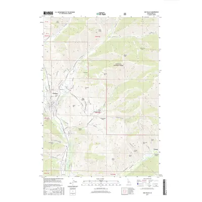
2017 Map of Sun Valley
USGS Topo · Published 2017About this map
The Big Wood River valley serves as the central corridor for this 2017 study of the famed Idaho resort region. The community of Ketchum and the adjacent Sun Valley are meticulously detailed, showing the dense network of recreation trails and access roads that define the local economy, including the Trail Creek Bike Path and Elkhorn Road Bike Path. Beyond the developed valley floor, the landscape rises into the Sawtooth National Forest, where named peaks like Ruud Mtn, Proctor Mtn, and Dollar Mtn overlook the canyon systems. To the southeast, the smaller settlement of Triumph is documented along the E Fork Wood River, situated near a series of deep gulches such as Triumph Gulch and North Star Gulch. Local history and genealogy interests are anchored by the Ketchum Cem, while water management is highlighted by the Comstock Ditch tracing the valley edge.
Find a feature on this map
72 named features on this map. Tap any name to fly to it.
Don’t see what you’re looking for? This feature index may not catch every label — zoom into the map to look around manually.
Map Details
Editions of this 2017 Sun Valley Map
This is the sole edition of this map. No revisions or reprints were ever made.
Other maps of this area

1895 · Hailey
USGS Topo · 1:125,000

1897 · Hailey
USGS Topo · 1:125,000

1955 · Hailey
USGS Topo · 1:250,000

1959 · Hailey
USGS Topo · 1:250,000

1962 · Hailey
USGS Topo · 1:250,000

1967 · Rock Roll Canyon
USGS Topo · 1:24,000

1967 · Baugh Creek SW
USGS Topo · 1:24,000

1967 · Mahoney Butte
USGS Topo · 1:24,000

1967 · Sun Valley
USGS Topo · 1:24,000

1967 · Hailey
USGS Topo · 1:24,000