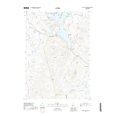
2021 Map of Sunapee Lake South
USGS Topo · Published 2021About this map
Mount Sunapee and the southern reaches of Sunapee Lake dominate this landscape, where the elevation rises sharply from the water's edge to the Summit and North Peak. The settlement pattern centers on lakeside communities like Burkehaven and Newbury, while the interior remains defined by high-altitude features such as Lake Solitude and the overlook at Lucas Lookout. The transition from Sullivan County into Merrimack County is marked by a series of prominent peaks, including Bald Sunapee and Bear Hill, which overlook the headwaters of the W Br Warner River.
Find a feature on this map
121 named features on this map. Tap any name to fly to it.
Don’t see what you’re looking for? This feature index may not catch every label — zoom into the map to look around manually.
Map Details
Editions of this 2021 Sunapee Lake South Map
This is the sole edition of this map. No revisions or reprints were ever made.
Other maps of this area

1902 · Sunapee
USGS Topo · 1:62,500

1905 · Sunapee
USGS Topo · 1:62,500

1907 · Sunapee
USGS Topo · 1:62,500

1926 · Hillsboro
USGS Topo · 1:62,500

1928 · Mount Kearsarge
USGS Topo · 1:62,500

1929 · Hillsboro
USGS Topo · 1:62,500

1930 · Lovewell Mountain
USGS Topo · 1:62,500

1931 · Mount Kearsarge
USGS Topo · 1:62,500

1942 · Lovewell Mountain
USGS Topo · 1:62,500

1949 · Portland
USGS Topo · 1:250,000