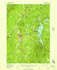
1955 Map of Sunapee
USGS Topo · Published 1957About this map
Newport serves as a central hub in this mid-century New Hampshire landscape, where the Sugar River winds through a valley defined by the steep rises of Croydon Mountain and Grantham Mountain. The map reveals a post-war recreational and industrial landscape, with the sprawling Lake Sunapee anchoring the eastern half. Local heritage is preserved at the Little Red Schoolhouse Museum south of the main town, while the extractive history of the region is noted at the Mica Mine near Otter Pond. Transportation networks are well-defined, showing the Boston and Maine RR serving settlements like Kelleyville and Guild. On the lake's western shore, the Mount Sunapee State Park and various landings like Burkehaven and Blodgett Landing suggest a burgeoning era of lakeside tourism and summer residency.
Find a feature on this map
168 named features on this map. Tap any name to fly to it.
Don’t see what you’re looking for? This feature index may not catch every label — zoom into the map to look around manually.
Map Details
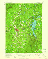
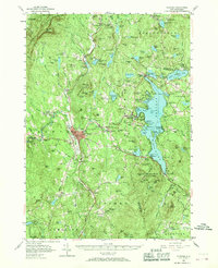
Editions of this 1955 Sunapee Map
3 editions found
Other maps of this area

1902 · Sunapee
USGS Topo · 1:62,500

1905 · Sunapee
USGS Topo · 1:62,500

1906 · Hanover
USGS Topo · 1:62,500

1907 · Sunapee
USGS Topo · 1:62,500

1908 · Hanover
USGS Topo · 1:62,500

1926 · Hillsboro
USGS Topo · 1:62,500

1926 · Claremont
USGS Topo · 1:62,500

1927 · Bellows Falls
USGS Topo · 1:48,000

1927 · Cardigan
USGS Topo · 1:62,500

1927 · Mascoma
USGS Topo · 1:62,500