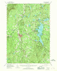
1955 Map of Sunapee
USGS Topo · Published 1969About this map
Sunapee Lake dominates this mid-century landscape, acting as a central hub for the surrounding villages of Burkehaven, Blodgett Landing, and Georges Mills. The era’s recreation and conservation efforts are evident in the expansive Mount Sunapee State Park, which includes the State Park Beach and the prominent Summit overlook. In Newport, the county seat, a dense cluster of infrastructure such as the High School and Wright Hospital contrasts with the rural character of outlying hamlets like Croydon Flat and Goshen Four Corners. Local heritage is anchored by institutions like the Little Red Schoolhouse Museum and country congregations at Wayside Chapel and St Andrews Ch. The terrain transitions from the water-level settlements to the high ridges of Croydon Mountain and Grantham Mtn, where lookouts and small upland ponds like Lake Solitude define the geography.
Find a feature on this map
157 named features on this map. Tap any name to fly to it.
Don’t see what you’re looking for? This feature index may not catch every label — zoom into the map to look around manually.
Map Details
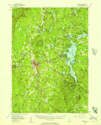
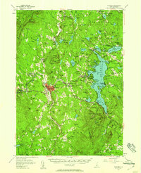
Editions of this 1955 Sunapee Map
3 editions found
Other maps of this area

1902 · Sunapee
USGS Topo · 1:62,500

1905 · Sunapee
USGS Topo · 1:62,500

1906 · Hanover
USGS Topo · 1:62,500

1907 · Sunapee
USGS Topo · 1:62,500

1908 · Hanover
USGS Topo · 1:62,500

1926 · Hillsboro
USGS Topo · 1:62,500

1926 · Claremont
USGS Topo · 1:62,500

1927 · Bellows Falls
USGS Topo · 1:48,000

1927 · Cardigan
USGS Topo · 1:62,500

1927 · Mascoma
USGS Topo · 1:62,500