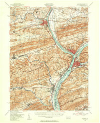
1953 Map of Sunbury
USGS Topo · Published 1956About this map
The confluence of the West Branch Susquehanna River and the main stem at Sunbury anchors this mid-century portrait of Central Pennsylvania. The landscape is defined by the ridge-and-valley province, featuring the prominent Montour Ridge and Shamokin Mountain. Educational and social institutions are well-established, represented by Bucknell University in Lewisburg and Susquehanna University in Selinsgrove.
Find a feature on this map
115 named features on this map. Tap any name to fly to it.
Don’t see what you’re looking for? This feature index may not catch every label — zoom into the map to look around manually.
Map Details
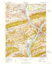
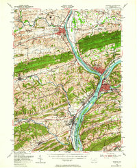
Editions of this 1953 Sunbury Map
3 editions found
Other maps of this area

1892 · Lykens
USGS Topo · 1:62,500

1892 · Shamokin
USGS Topo · 1:62,500

1893 · Sunbury
USGS Topo · 1:62,500

1893 · Lykens
USGS Topo · 1:62,500

1893 · Shamokin
USGS Topo · 1:62,500

1893 · Millersburg
USGS Topo · 1:62,500

1907 · Millerstown
USGS Topo · 1:62,500

1921 · Williamsport
USGS Topo · 1:48,000

1923 · Williamsport
USGS Topo · 1:62,500

1924 · Milton
USGS Topo · 1:62,500