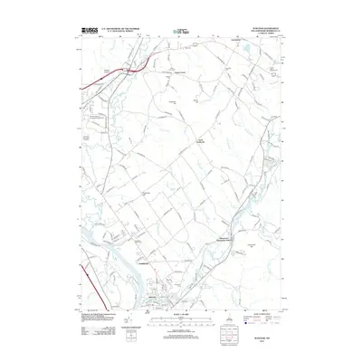
2012 Map of Suncook
USGS Topo · Published 2012About this map
The Merrimack River and Suncook River define the lower reach of this landscape, where the concentrated settlement of Pembroke and the village of Suncook meet. In the early 21st century, the area maintains a mix of collegiate activity at Franklin Pierce University at Concord and localized agriculture and commerce along the riverbanks. The higher ground is marked by several prominent summits including Plausawa Hill and Pembroke Hill, which overlook a network of long-established range roads like 6th Range Rd and 4th Range Rd. Multiple historic burial grounds, such as Pembroke Street Cem and Hook Cem, are scattered through the countryside, offering significant points of interest for genealogical research in this Merrimack County corridor. The northeastern corner transitions into more rural terrain near Chichester and the Epsom Valley Campground.
Find a feature on this map
154 named features on this map. Tap any name to fly to it.
Don’t see what you’re looking for? This feature index may not catch every label — zoom into the map to look around manually.
Map Details
Editions of this 2012 Suncook Map
This is the sole edition of this map. No revisions or reprints were ever made.
Other maps of this area

1919 · Gilmanton
USGS Topo · 1:62,500

1921 · Suncook
USGS Topo · 1:62,500

1927 · Concord
USGS Topo · 1:62,500

1927 · Penacook
USGS Topo · 1:62,500

1927 · Gilmanton
USGS Topo · 1:62,500

1944 · Suncook
USGS Topo · 1:62,500

1949 · Portland
USGS Topo · 1:250,000

1949 · Concord
USGS Topo · 1:62,500

1956 · Penacook
USGS Topo · 1:62,500

1956 · Portland
USGS Topo · 1:250,000