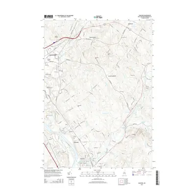
2015 Map of Suncook
USGS Topo · Published 2015About this map
The Merrimack River and its tributary, the Suncook River, define the landscape of this region during the mid-2010s, anchoring a network of historic settlements including Suncook, Pembroke, and Chichester. The terrain is characterized by prominent elevations like Catamount Hill and Plausawa Hill, while the lowlands are punctuated by smaller waterways such as Bear Brook and Pettingill Brook. In the western portion, the expansion of Concord is evident near the Concord Municipal Airport, contrasting with the more rural character of Horse Corner and North Pembroke to the east.
Find a feature on this map
146 named features on this map. Tap any name to fly to it.
Don’t see what you’re looking for? This feature index may not catch every label — zoom into the map to look around manually.
Map Details
Editions of this 2015 Suncook Map
This is the sole edition of this map. No revisions or reprints were ever made.
Other maps of this area

1919 · Gilmanton
USGS Topo · 1:62,500

1921 · Suncook
USGS Topo · 1:62,500

1927 · Concord
USGS Topo · 1:62,500

1927 · Penacook
USGS Topo · 1:62,500

1927 · Gilmanton
USGS Topo · 1:62,500

1944 · Suncook
USGS Topo · 1:62,500

1949 · Portland
USGS Topo · 1:250,000

1949 · Concord
USGS Topo · 1:62,500

1956 · Penacook
USGS Topo · 1:62,500

1956 · Portland
USGS Topo · 1:250,000