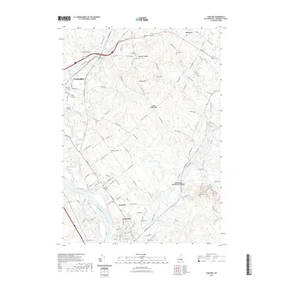
2021 Map of Suncook
USGS Topo · Published 2021About this map
The Merrimack River and Suncook River converge in this southeastern corner of Merrimack County, defining a landscape shaped by glacial deposits and colonial-era settlement patterns. The village of Suncook anchors the southern reaches, while the city of Concord expands in the northwest near the Concord Municipal Airport. This area is particularly dense with genealogical sites, featuring numerous family and community burial grounds including the Hook Cem and the Langley Watson Cem. High points like Plausawa Hill and Garvin Hill rise above the drainage basins of Frenchs Brook and Pettingill Brook, providing a clear view of the transition from the industrial river corridors to the more rural highlands of North Pembroke. The map also traces modern education and recreation, from Franklin Pierce University to the trails around Catamount Pond.
Find a feature on this map
75 named features on this map. Tap any name to fly to it.
Don’t see what you’re looking for? This feature index may not catch every label — zoom into the map to look around manually.
Map Details
Editions of this 2021 Suncook Map
This is the sole edition of this map. No revisions or reprints were ever made.
Other maps of this area

1919 · Gilmanton
USGS Topo · 1:62,500

1921 · Suncook
USGS Topo · 1:62,500

1927 · Concord
USGS Topo · 1:62,500

1927 · Penacook
USGS Topo · 1:62,500

1927 · Gilmanton
USGS Topo · 1:62,500

1944 · Suncook
USGS Topo · 1:62,500

1949 · Portland
USGS Topo · 1:250,000

1949 · Concord
USGS Topo · 1:62,500

1956 · Penacook
USGS Topo · 1:62,500

1956 · Portland
USGS Topo · 1:250,000