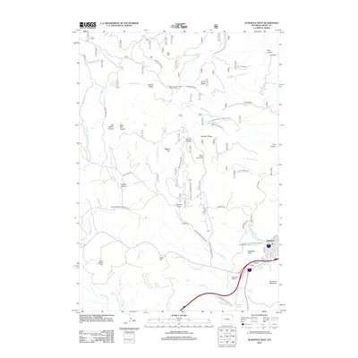
2012 Map of Sundance West
USGS Topo · Published 2012About this map
The town of Sundance anchors the southeastern corner of this landscape, situated at the base of the massive Sundance Mountain. This territory is defined by complex drainage systems and high points, including the Warren Peaks and the high-elevation Bear Lodge Mountain Lookout Tower. The map reveals a history of resource extraction and community infrastructure, from the early industrial presence at Coal Mine Hill and the W Fork Quarry to the local aviation history at Schloredt Airport.
Find a feature on this map
76 named features on this map. Tap any name to fly to it.
Don’t see what you’re looking for? This feature index may not catch every label — zoom into the map to look around manually.
Map Details
Editions of this 2012 Sundance West Map
This is the sole edition of this map. No revisions or reprints were ever made.
Other maps of this area

1898 · Sundance
USGS Topo · 1:125,000

1901 · Aladdin
USGS Topo · 1:125,000

1902 · Sundance
USGS Topo · 1:125,000

1903 · Aladdin
USGS Topo · 1:125,000

1905 · Devils Tower
USGS Topo · 1:125,000

1918 · Moorcroft
USGS Topo · 1:125,000

1954 · Gillette
USGS Topo · 1:250,000

1955 · Devils Tower
USGS Topo · 1:62,500

1955 · Gillette
USGS Topo · 1:250,000

1957 · Nefsy Divide
USGS Topo · 1:62,500