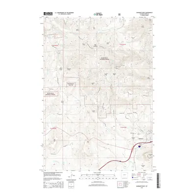
2015 Map of Sundance West
USGS Topo · Published 2015About this map
Sundance sits at the base of the Bear Lodge Mountains within the Black Hills National Forest, where high-elevation peaks like Warren Peaks and Ragged Top dominate the skyline. This 2015 record shows the transition from the town's grid to the winding forest roads and canyons that define the local topography. Local history is etched into the landscape through names like Mount Moriah Cem, while the town's western reaches follow the contours of Sundance Mtn and Mount Moriah.
Find a feature on this map
83 named features on this map. Tap any name to fly to it.
Don’t see what you’re looking for? This feature index may not catch every label — zoom into the map to look around manually.
Map Details
Editions of this 2015 Sundance West Map
This is the sole edition of this map. No revisions or reprints were ever made.
Other maps of this area

1898 · Sundance
USGS Topo · 1:125,000

1901 · Aladdin
USGS Topo · 1:125,000

1902 · Sundance
USGS Topo · 1:125,000

1903 · Aladdin
USGS Topo · 1:125,000

1905 · Devils Tower
USGS Topo · 1:125,000

1918 · Moorcroft
USGS Topo · 1:125,000

1954 · Gillette
USGS Topo · 1:250,000

1955 · Devils Tower
USGS Topo · 1:62,500

1955 · Gillette
USGS Topo · 1:250,000

1957 · Nefsy Divide
USGS Topo · 1:62,500