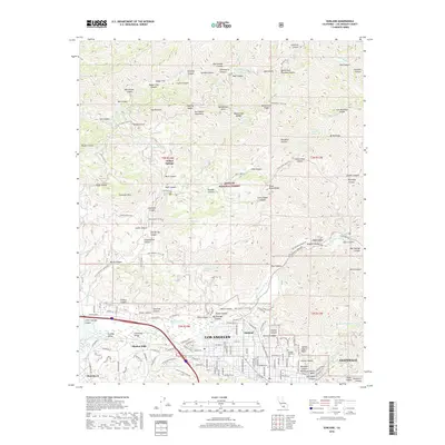
2018 Map of Sunland
USGS Topo · Published 2018About this map
The San Gabriel Mountains dominate the northern landscape of this region, providing a sharp contrast to the residential expansion of Sunland and Shadow Hills to the south. Within the protected boundaries of the Angeles National Forest, a network of firefighting and access routes like the Mendenhall Truck Trl and Kagel Truck Trl traverse high-altitude landmarks including Mendenhall Peak and The Pinnacle.
Find a feature on this map
124 named features on this map. Tap any name to fly to it.
Don’t see what you’re looking for? This feature index may not catch every label — zoom into the map to look around manually.
Map Details
Editions of this 2018 Sunland Map
This is the sole edition of this map. No revisions or reprints were ever made.
Other maps of this area

1894 · Los Angeles
USGS Topo · 1:62,500

1896 · Pasadena
USGS Topo · 1:62,500

1896 · Santa Monica
USGS Topo · 1:62,500

1898 · Santa Monica
USGS Topo · 1:62,500

1900 · Pasadena
USGS Topo · 1:62,500

1900 · Tujunga
USGS Topo · 1:62,500

1900 · Los Angeles
USGS Topo · 1:62,500

1900 · Fernando
USGS Topo · 1:62,500

1901 · Southern California Sheet No. 1
USGS Topo · 1:250,000

1902 · Santa Monica
USGS Topo · 1:62,500