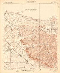
1926 Map of Sunland
USGS Topo · Published 1926About this map
The Verdugo Mountains and San Rafael Hills dominate this mid-1920s survey, illustrating the sharp contrast between the burgeoning urbanization of the San Fernando Valley and the steep, untamed terrain to the east. Early settlements like Sunland are shown with established street grids, including Michigan Ave, while the valley floor is increasingly defined by infrastructure such as the Southern Pacific railroad and the California Edison Power Line.
Find a feature on this map
26 named features on this map. Tap any name to fly to it.
Don’t see what you’re looking for? This feature index may not catch every label — zoom into the map to look around manually.
Map Details
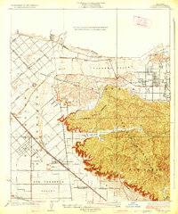
Editions of this 1926 Sunland Map
2 editions found
Other maps of this area

1894 · Los Angeles
USGS Topo · 1:62,500

1896 · Santa Monica
USGS Topo · 1:62,500

1898 · Santa Monica
USGS Topo · 1:62,500

1900 · Los Angeles
USGS Topo · 1:62,500

1900 · Fernando
USGS Topo · 1:62,500

1901 · Southern California Sheet No. 1
USGS Topo · 1:250,000

1902 · Santa Monica
USGS Topo · 1:62,500

1904 · Southern California Sheet No. 1
USGS Topo · 1:250,000

1920 · Santa Monica
USGS Topo · 1:62,500
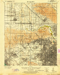
1921 · Santa Monica
USGS Topo · 1:62,500