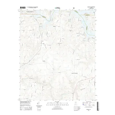
2014 Map of Sunlight
USGS Topo · Published 2014About this map
Lewis Smith Lake dominates the northern reaches of this landscape where Winston, Walker, and Cullman counties meet. The irregular, branching shoreline of the reservoir creates numerous peninsulas and inlets, such as those near Marylee, defined by the surrounding topography of the William B. Bankhead National Forest. This 2014 survey documents a rural environment where development is clustered along historical corridors like Curry Hwy, which connects the namesake settlements of Curry and Sunlight.
Find a feature on this map
103 named features on this map. Tap any name to fly to it.
Don’t see what you’re looking for? This feature index may not catch every label — zoom into the map to look around manually.
Map Details
Editions of this 2014 Sunlight Map
This is the sole edition of this map. No revisions or reprints were ever made.
Other maps of this area

1893 · Jasper
USGS Topo · 1:125,000

1949 · Cordova
USGS Topo · 1:24,000

1949 · Sipsey
USGS Topo · 1:24,000

1949 · Cold Springs
USGS Topo · 1:24,000

1949 · Jasper
USGS Topo · 1:24,000

1949 · Manchester
USGS Topo · 1:24,000

1949 · Sunlight
USGS Topo · 1:24,000

1950 · Manchester
USGS Topo · 1:24,000

1951 · Jasper
USGS Topo · 1:24,000

1951 · Cold Springs
USGS Topo · 1:24,000