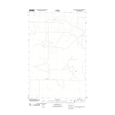
2011 Map of Sunny Slope School
USGS Topo · Published 2011About this map
Sunny Slope School (historical) serves as the namesake landmark for this stretch of Phillips County, located along the quiet path of Sunny Slope Rd. The landscape is defined by the open expanses of the Montana-Saskatchewan borderlands, where the terrain is marked primarily by small drainage channels and water management features like Drydahl Dam. The placement of the historical school site indicates the earlier patterns of rural education and community gathering in this sparsely settled northern prairie region. To the north, Hutton Rd cuts across the section lines, illustrating the grid-based surveying that organized these plains. This 2011 survey documents a remote agricultural environment where water sources and named road corridors remain the primary indicators of human presence and land use.
Find a feature on this map
4 named features on this map. Tap any name to fly to it.
Don’t see what you’re looking for? This feature index may not catch every label — zoom into the map to look around manually.
Map Details
Editions of this 2011 Sunny Slope School Map
This is the sole edition of this map. No revisions or reprints were ever made.
Other maps of this area

1920 · Avery
USGS Topo · 1:125,000

1920 · Cowan
USGS Topo · 1:125,000

1953 · Havre
USGS Topo · 1:250,000

1954 · Glasgow
USGS Topo · 1:250,000

1957 · Glasgow
USGS Topo · 1:250,000

1957 · Havre
USGS Topo · 1:250,000

1958 · Glasgow
USGS Topo · 1:250,000

1958 · Havre
USGS Topo · 1:250,000

1984 · Chapman
USGS Topo · 1:24,000
1984 · Chapman NW
USGS Topo · 1:24,000