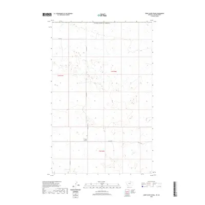
2020 Map of Sunny Slope School
USGS Topo · Published 2020About this map
Sunny Slope School (Historical) stands as a primary point of historical interest in this section of Phillips County, located along the southern edge of the township boundaries for t37n r28e and t36n r28e. The landscape is defined by its rural grid system, where local travel and property divisions are anchored by Sunnyslope Rd, N Sunnyslope Rd, and Hutton Rd.
Find a feature on this map
8 named features on this map. Tap any name to fly to it.
Don’t see what you’re looking for? This feature index may not catch every label — zoom into the map to look around manually.
Map Details
Editions of this 2020 Sunny Slope School Map
This is the sole edition of this map. No revisions or reprints were ever made.
Other maps of this area

1920 · Avery
USGS Topo · 1:125,000

1920 · Cowan
USGS Topo · 1:125,000

1953 · Havre
USGS Topo · 1:250,000

1954 · Glasgow
USGS Topo · 1:250,000

1957 · Glasgow
USGS Topo · 1:250,000

1957 · Havre
USGS Topo · 1:250,000

1958 · Glasgow
USGS Topo · 1:250,000

1958 · Havre
USGS Topo · 1:250,000

1984 · Chapman
USGS Topo · 1:24,000
1984 · Chapman NW
USGS Topo · 1:24,000