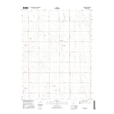
2016 Map of Sunnydale
USGS Topo · Published 2016About this map
Sunnydale serves as a central point in this part of Adams County, where the high plains landscape is defined by a grid of rural roads and seasonal watercourses. The infrastructure of the region is notably marked by the Henrylyn Canal in the northwest, a vital piece of water management for agricultural operations in this arid environment. Transportation and local access are facilitated by a systematic network of thoroughfares including Kiowa Bennett Rd, N Schumaker Rd, and Yulle Rd, which organize the terrain into distinct sections. Private aviation is also represented on the landscape with the presence of the Flying E Airport and JJS Airport, indicating the scale and utility of land use during this era. The natural drainage of the area is traced by Lost Cr, W Sand Cr, and Sand Cr, which cut through the contours of the eastern Colorado plains.
Find a feature on this map
32 named features on this map. Tap any name to fly to it.
Don’t see what you’re looking for? This feature index may not catch every label — zoom into the map to look around manually.
Map Details
Editions of this 2016 Sunnydale Map
This is the sole edition of this map. No revisions or reprints were ever made.
Other maps of this area

1890 · East Denver
USGS Topo · 1:125,000

1902 · Greeley
USGS Topo · 1:125,000

1949 · Sunnydale
USGS Topo · 1:24,000

1949 · Bennett
USGS Topo · 1:24,000

1950 · South Roggen
USGS Topo · 1:24,000

1950 · Keenesburg
USGS Topo · 1:24,000

1950 · Prospect Valley
USGS Topo · 1:24,000

1950 · Roper School
USGS Topo · 1:24,000

1951 · Keenesburg
USGS Topo · 1:24,000

1951 · Prospect Valley
USGS Topo · 1:24,000