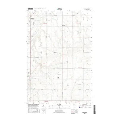
2015 Map of Sunnyside
USGS Topo · Published 2015About this map
Boylston Junction and Sunnyside mark the northern reaches of this Douglas County landscape, where the drainage networks of the Nemadji River and Little Amnicon River converge. The terrain is defined by dramatic hydrological features, most notably Big Manitou Falls and the adjacent Rocky Gorge along the Black River. These natural landmarks sit near Interfalls Lake, illustrating the complex water systems that have shaped the region's topography and settlement patterns.
Find a feature on this map
77 named features on this map. Tap any name to fly to it.
Don’t see what you’re looking for? This feature index may not catch every label — zoom into the map to look around manually.
Map Details
Editions of this 2015 Sunnyside Map
This is the sole edition of this map. No revisions or reprints were ever made.
Other maps of this area

1915 · Superior
USGS Topo · 1:48,000

1917 · Superior
USGS Topo · 1:62,500

1945 · Solon Springs
USGS Topo · 1:48,000

1949 · Solon Springs
USGS Topo · 1:48,000

1949 · Patzau
USGS Topo · 1:48,000

1949 · Poplar
USGS Topo · 1:48,000

1953 · Ashland
USGS Topo · 1:250,000

1953 · Duluth
USGS Topo · 1:250,000

1954 · West Duluth
USGS Topo · 1:24,000

1954 · Borea
USGS Topo · 1:24,000