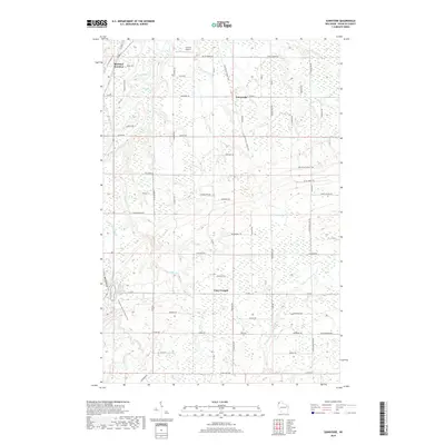
2018 Map of Sunnyside
USGS Topo · Published 2018About this map
Sunnyside and Boylston Junction anchor this part of Douglas County, where the transition from rural homesteads to the forested drainage of the Nemadji basin is clearly defined. The southwestern corner is dominated by the dramatic landscape surrounding Big Manitou Falls and Rocky Gorge, where the land drops sharply toward Interfalls Lake. This area reflects a balance between active transportation corridors and protected natural space, as evidenced by the convergence of the Wild Rivers State Trail and the N Country National Scenic Trail. Local aviation history is represented by the Carlson Airport, while a network of named country roads like Kansy Rd and Ullan Rd connects scattered farmsteads. The drainage of the Little Amnicon River and Copper Cr across the landscape reveals a complex hydrography of small tributaries and wetlands essential to the region's character.
Find a feature on this map
70 named features on this map. Tap any name to fly to it.
Don’t see what you’re looking for? This feature index may not catch every label — zoom into the map to look around manually.
Map Details
Editions of this 2018 Sunnyside Map
This is the sole edition of this map. No revisions or reprints were ever made.
Other maps of this area

1915 · Superior
USGS Topo · 1:48,000

1917 · Superior
USGS Topo · 1:62,500

1945 · Solon Springs
USGS Topo · 1:48,000

1949 · Solon Springs
USGS Topo · 1:48,000

1949 · Patzau
USGS Topo · 1:48,000

1949 · Poplar
USGS Topo · 1:48,000

1953 · Ashland
USGS Topo · 1:250,000

1953 · Duluth
USGS Topo · 1:250,000

1954 · West Duluth
USGS Topo · 1:24,000

1954 · Borea
USGS Topo · 1:24,000