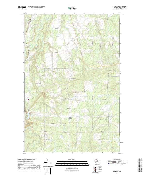
2022 Map of Sunnyside
USGS Topo · Published 2022About this map
The Nemadji River and its numerous tributaries, including Stony Brook, Copper Cr, and Valley Brook, define this corner of Douglas County. The landscape is marked by the sharp descent of water toward Lake Superior, most notably at Manitou Falls and the surrounding Rocky Gorge near Interfalls Lake. Settlement patterns are concentrated around historic crossroads and rail junctions such as Boylston Junction, Sunnyside, and Four Corners. The northern portion of the map features the Carlson Airport and a grid of rural roads named for early families, such as Kansy Rd and Omberg Rd. In the east, the Wild Rivers State Trl follows an established corridor through the wetlands and forests, while the Little Amnicon River and Black River drain the southern reaches. This modern survey preserves the locations of rural homesteads and local infrastructure within the transition from upland woods to the river-cut lowlands.
Find a feature on this map
78 named features on this map. Tap any name to fly to it.
Don’t see what you’re looking for? This feature index may not catch every label — zoom into the map to look around manually.
Map Details
Editions of this 2022 Sunnyside Map
This is the sole edition of this map. No revisions or reprints were ever made.
Other maps of this area

1915 · Superior
USGS Topo · 1:48,000

1917 · Superior
USGS Topo · 1:62,500

1945 · Solon Springs
USGS Topo · 1:48,000

1949 · Solon Springs
USGS Topo · 1:48,000

1949 · Patzau
USGS Topo · 1:48,000

1949 · Poplar
USGS Topo · 1:48,000

1953 · Ashland
USGS Topo · 1:250,000

1953 · Duluth
USGS Topo · 1:250,000

1954 · West Duluth
USGS Topo · 1:24,000

1954 · Borea
USGS Topo · 1:24,000