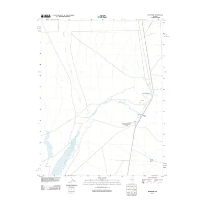
2012 Map of Sunnyside
USGS Topo · Published 2012About this map
The White River and Sunnyside Creek drainage systems define this high-desert basin in Nye County, where water availability has historically shaped land use and settlement. Ranching remains the central activity, as evidenced by the namesake Sunnyside community and family-run operations such as Whipple Ranch and Hendrix Ranch. These agricultural hubs rely on a network of natural water sources like Butterfield Springs and Flag Springs, alongside constructed irrigation features including the Adams-McGill Reservoir and Dacey Reservoir to the south.
Find a feature on this map
16 named features on this map. Tap any name to fly to it.
Don’t see what you’re looking for? This feature index may not catch every label — zoom into the map to look around manually.
Map Details
Editions of this 2012 Sunnyside Map
This is the sole edition of this map. No revisions or reprints were ever made.
Other maps of this area

1956 · Lund
USGS Topo · 1:250,000

1960 · Lund
USGS Topo · 1:250,000

1969 · Gap Mountain
USGS Topo · 1:24,000

1969 · Shingle Pass
USGS Topo · 1:24,000

1969 · Sunnyside
USGS Topo · 1:24,000

1969 · Moorman Spring SE
USGS Topo · 1:24,000

1969 · Hot Creek Butte
USGS Topo · 1:24,000

1969 · Sunnyside NW
USGS Topo · 1:24,000

1969 · Moorman Spring
USGS Topo · 1:24,000

1971 · Cave Valley Well
USGS Topo · 1:24,000