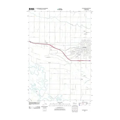
2011 Map of Sunnyside
USGS Topo · Published 2011About this map
Sunnyside serves as the primary hub of this Yakima County landscape, where the intensive irrigation networks of the Sunnyside Canal and Snipes Mountain Lateral transformed the semi-arid valley into a productive agricultural center. The map reveals a densely gridded rural landscape populated by smaller settlements like Outlook, Emerald, and Midvale, each tied to the transit and water corridors that define the region.
Find a feature on this map
84 named features on this map. Tap any name to fly to it.
Don’t see what you’re looking for? This feature index may not catch every label — zoom into the map to look around manually.
Map Details
Editions of this 2011 Sunnyside Map
This is the sole edition of this map. No revisions or reprints were ever made.
Other maps of this area

1910 · Zillah
USGS Topo · 1:125,000

1915 · Prosser
USGS Topo · 1:125,000

1917 · Prosser
USGS Topo · 1:125,000

1950 · Yakima
USGS Topo · 1:250,000

1950 · Grandview
USGS Topo · 1:62,500

1951 · Grandview
USGS Topo · 1:62,500

1953 · Walla Walla
USGS Topo · 1:250,000

1958 · Walla Walla
USGS Topo · 1:250,000

1958 · Yakima
USGS Topo · 1:250,000

1961 · Yakima
USGS Topo · 1:250,000