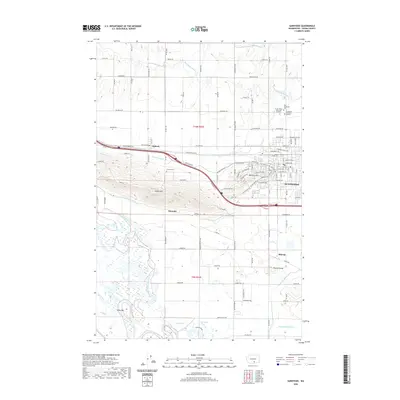
2020 Map of Sunnyside
USGS Topo · Published 2020About this map
Sunnyside and its surrounding agricultural valley appear in high detail at the start of the 2020s, defined by the complex irrigation network that sustains the region's productivity. The landscape is a grid of orchards and fields partitioned by the Sunnyside Canal, Granger Drain, and various laterals such as the Snipes Mountain Lateral. This irrigation system contours around topographic features like Snipes Mtn and Harrison Hill, while the Yakima River meanders through the southwestern portion of the sheet. Genealogists will find significant value in the documentation of several local burial grounds, including the Old Sunnyside Cem and the Lower Valley Memorial Gardens. Smaller settlements like Outlook, Emerald, and Midvale remain distinct nodes along the transport corridors of the Yakima Valley Hwy and the Inland Empire Hwy.
Find a feature on this map
63 named features on this map. Tap any name to fly to it.
Don’t see what you’re looking for? This feature index may not catch every label — zoom into the map to look around manually.
Map Details
Editions of this 2020 Sunnyside Map
This is the sole edition of this map. No revisions or reprints were ever made.
Other maps of this area

1910 · Zillah
USGS Topo · 1:125,000

1915 · Prosser
USGS Topo · 1:125,000

1917 · Prosser
USGS Topo · 1:125,000

1950 · Yakima
USGS Topo · 1:250,000

1950 · Grandview
USGS Topo · 1:62,500

1951 · Grandview
USGS Topo · 1:62,500

1953 · Walla Walla
USGS Topo · 1:250,000

1958 · Walla Walla
USGS Topo · 1:250,000

1958 · Yakima
USGS Topo · 1:250,000

1961 · Yakima
USGS Topo · 1:250,000