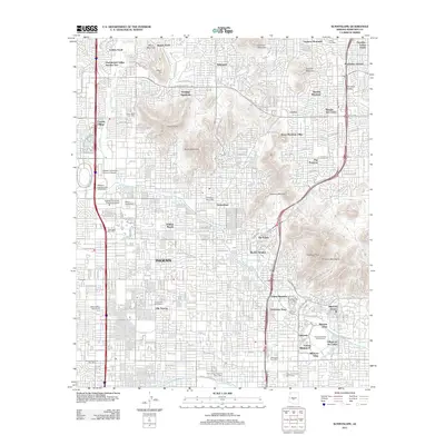
2011 Map of Sunnyslope
USGS Topo · Published 2011About this map
Sunnyslope and the surrounding desert peaks define this 2011 survey of North Phoenix. The landscape is a mix of dense residential development and protected natural landmarks, including the high ridges of Piestewa Peak and the Phoenix Mountains. Water management is evident via the Grand Canal in the southern portion of the sheet and the course of Cave Creek to the northwest. The area is a center for higher education, shown by the locations of Ottawa University, Western International University, and Argosy University. Residential expansion is visible through numerous named subdivisions like Heritage Highlands, Colony South, and the Biltmore Villas near the Arizona Biltmore Golf Course. Local mail hubs including the Cactus Post Office and Sunnyslope Post Office provide anchor points for neighborhood researchers tracking the growth of this part of the valley.
Find a feature on this map
107 named features on this map. Tap any name to fly to it.
Don’t see what you’re looking for? This feature index may not catch every label — zoom into the map to look around manually.
Map Details
Editions of this 2011 Sunnyslope Map
This is the sole edition of this map. No revisions or reprints were ever made.
Other maps of this area

1904 · Camelback
USGS Topo · 1:62,500

1906 · Camelsback
USGS Topo · 1:62,500

1912 · Phoenix
USGS Topo · 1:62,500

1913 · Mesa
USGS Topo · 1:62,500

1914 · Phoenix
USGS Topo · 1:62,500

1915 · Mesa
USGS Topo · 1:62,500

1930 · Cave Creek
USGS Topo · 1:125,000

1939 · Cave Creek
USGS Topo · 1:125,000

1952 · Tempe
USGS Topo · 1:24,000

1952 · Phoenix
USGS Topo · 1:24,000