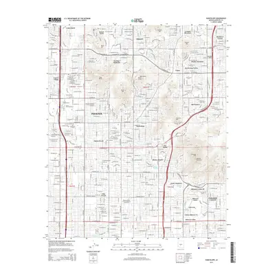
2014 Map of Sunnyslope
USGS Topo · Published 2014About this map
Sunnyslope and the northern reaches of Phoenix are defined by a mix of dense urban development and the rocky silhouettes of the Phoenix Mountains. This 2014 survey reveals a landscape where residential growth in communities like Colony South and Paradise Valley pushes against the base of prominent peaks including Piestewa Peak and Lookout Mtn. A significant cluster of educational institutions, such as Western International Univ and the American Indian Coll of the Assemblies of God Inc, anchors the western side of the map near the N Black Canyon Fwy.
Find a feature on this map
71 named features on this map. Tap any name to fly to it.
Don’t see what you’re looking for? This feature index may not catch every label — zoom into the map to look around manually.
Map Details
Editions of this 2014 Sunnyslope Map
This is the sole edition of this map. No revisions or reprints were ever made.
Other maps of this area

1904 · Camelback
USGS Topo · 1:62,500

1906 · Camelsback
USGS Topo · 1:62,500

1912 · Phoenix
USGS Topo · 1:62,500

1913 · Mesa
USGS Topo · 1:62,500

1914 · Phoenix
USGS Topo · 1:62,500

1915 · Mesa
USGS Topo · 1:62,500

1930 · Cave Creek
USGS Topo · 1:125,000

1939 · Cave Creek
USGS Topo · 1:125,000

1952 · Tempe
USGS Topo · 1:24,000

1952 · Phoenix
USGS Topo · 1:24,000