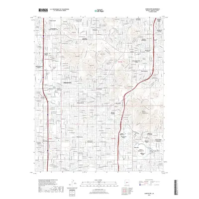
2018 Map of Sunnyslope
USGS Topo · Published 2018About this map
Phoenix and the established neighborhood of Sunnyslope are defined by a complex grid of residential developments and specialized educational institutions. This 2018 survey documents a landscape where higher education and healthcare training are prominent, featuring the Chamberlain College of Nursing Phoenix Campus, The Art Institute of Phoenix, and the American Indian College. The residential character is marked by distinct communities such as Villa Novena, Palmas Royale, and Heritage Highlands, often organized around the dramatic elevations of the surrounding terrain.
Find a feature on this map
63 named features on this map. Tap any name to fly to it.
Don’t see what you’re looking for? This feature index may not catch every label — zoom into the map to look around manually.
Map Details
Editions of this 2018 Sunnyslope Map
This is the sole edition of this map. No revisions or reprints were ever made.
Other maps of this area

1904 · Camelback
USGS Topo · 1:62,500

1906 · Camelsback
USGS Topo · 1:62,500

1912 · Phoenix
USGS Topo · 1:62,500

1913 · Mesa
USGS Topo · 1:62,500

1914 · Phoenix
USGS Topo · 1:62,500

1915 · Mesa
USGS Topo · 1:62,500

1930 · Cave Creek
USGS Topo · 1:125,000

1939 · Cave Creek
USGS Topo · 1:125,000

1952 · Tempe
USGS Topo · 1:24,000

1952 · Phoenix
USGS Topo · 1:24,000