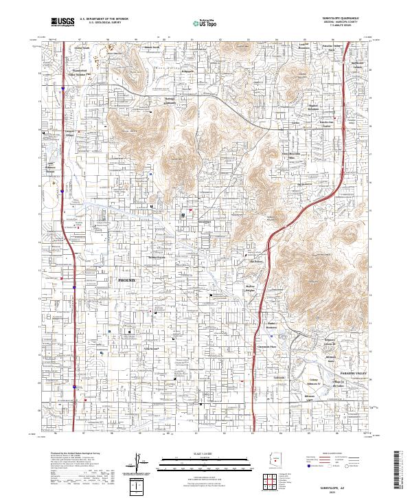
2023 Map of Sunnyslope
USGS Topo · Published 2023About this map
Phoenix and the established neighborhood of Sunnyslope are mapped here alongside the high-end developments of Paradise Valley. The landscape is defined by the sharp contrast between the densely settled residential grids and the preserved mountain preserves, including North Mtn, Shaw Butte, and Piestewa Peak. Critical water infrastructure like the Arizona Canal and Grand Canal cuts through the urban fabric, tracing the historic path of irrigation that enabled the valley's growth.
Find a feature on this map
68 named features on this map. Tap any name to fly to it.
Don’t see what you’re looking for? This feature index may not catch every label — zoom into the map to look around manually.
Map Details
Editions of this 2023 Sunnyslope Map
This is the sole edition of this map. No revisions or reprints were ever made.
Other maps of this area

1904 · Camelback
USGS Topo · 1:62,500

1906 · Camelsback
USGS Topo · 1:62,500

1912 · Phoenix
USGS Topo · 1:62,500

1913 · Mesa
USGS Topo · 1:62,500

1914 · Phoenix
USGS Topo · 1:62,500

1915 · Mesa
USGS Topo · 1:62,500

1930 · Cave Creek
USGS Topo · 1:125,000

1939 · Cave Creek
USGS Topo · 1:125,000

1952 · Tempe
USGS Topo · 1:24,000

1952 · Phoenix
USGS Topo · 1:24,000