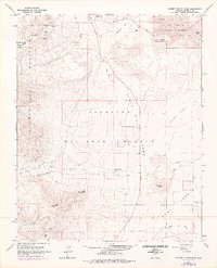
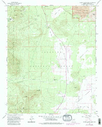
1966 Map of Sunset Crater West
USGS Topo · Published 1976About this map
Sunset Crater National Monument dominates the northeast corner of this survey, revealing a landscape defined by volcanic activity and open highland parks. The presence of the Bonito Lava Flow and the expansive Cinder Lake illustrates the unique geologic history that shaped Coconino County, while Old Caves Crater and Lenox Crater provide distinct topographic landmarks. Settlements and development begin to emerge along the eastern margins near Doney Park and Black Bill Park, showing the transition from the protected forest land to rural residential areas.
Find a feature on this map
31 named features on this map. Tap any name to fly to it.
Don’t see what you’re looking for? This feature index may not catch every label — zoom into the map to look around manually.
Map Details
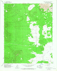
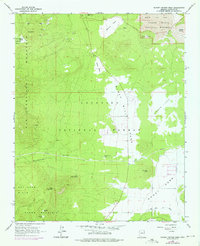
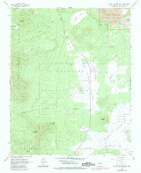
Editions of this 1966 Sunset Crater West Map
5 editions found
Other maps of this area

1886 · San Francisco Mtns
USGS Topo · 1:250,000

1891 · San Francisco Mtns
USGS Topo · 1:250,000

1894 · San Francisco Mtns
USGS Topo · 1:250,000

1899 · San Francisco Mtns
USGS Topo · 1:250,000

1908 · Flagstaff
USGS Topo · 1:125,000

1912 · Flagstaff
USGS Topo · 1:125,000

1947 · Flagstaff
USGS Topo · 1:250,000

1954 · Flagstaff
USGS Topo · 1:250,000

1958 · Flagstaff
USGS Topo · 1:250,000

1960 · Flagstaff
USGS Topo · 1:250,000